City Government
Infinite Possibilities of Gangneung where Business, Culture and Tourism meet.- Home
- City Government
- Sister & Friendship Cities
Sister & Friendship Cities

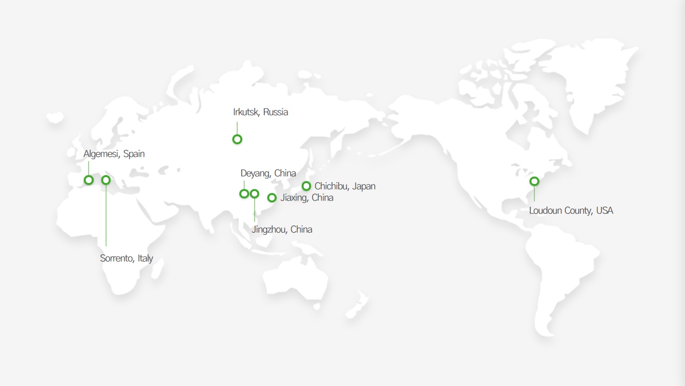

- Population60,314
- Area577.83㎢ km²
- LocationLocated at altitude of 240m in the mid mountain area 175km away from Tokyo
- Sisterhood formation date 1983-02-16
- climate Average temperature12.6°C, Annual precipitation 1,420mm
- Website https://www.city.chichibu.lg.jp/
It is famous for folk festivals such as Chichibu night festival(winter festival), Chichibu river festival(summer festival), and there are various tourist sites such as Urasan dam, Music Park, museum, the Stone buddha of Konghoji temple and famous for the resort tourist city near Tokyo.
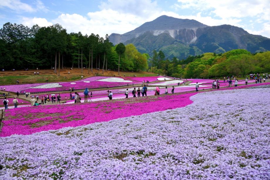
①Moss Phlox Hill of Hitsujiyama Park
The Moss Phlox Hill is located at Hitsujiyama Park, a beautiful retreat from the city.
Every spring, pink and light blue moss phlox (Phlox subulate) begin to fill the vast land.
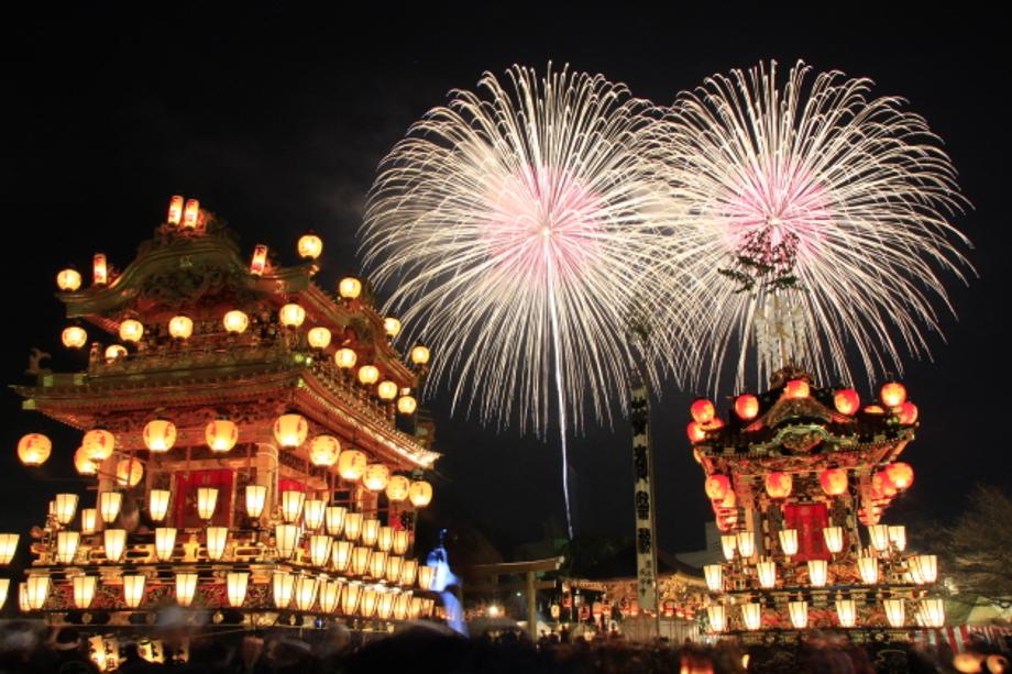
②Chichibu Night Festival
The Chichibu Night Festival, one of the three major Hisayama festivals in Japan, is inscribed as UNESCO Intangible Cultural Heritage. Visitors can enjoy the sight of two splendid kasaboko and four food stalls during the winter festival along with fireworks.
③Three Animations Set in Chichibu
Three famous animation films set in Chichibu are “We Still Don't Know the Name of the Flower We Saw That Day,” “The Anthem of the Heart,” and “Her Blue Sky.”
Many anime fans visit the city, which has become a “sacred anime pilgrimage spot.”
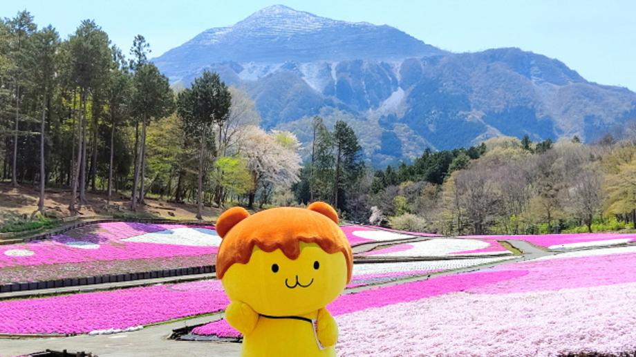
④Pote Kuma-kun
Pote Kuma-kun, a mascot of Chichibu, is a bear fairy that loves the popular restaurant, Miso Potatoes.
“I ate so much miso potatoes that miso seems to be dripping out of my head…”
⑤Chichibu Kawase Festival
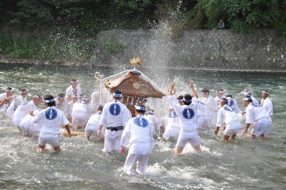
The Chichibu Kawase Festival is held at Chichibu Shrine on July 19 and 20. It is famous for eight kasaboko and food stalls that travel on the streets for two days as well as the palanquin washing ceremony where a 400kg palanquin is placed in the crystal-clear water of Arakawa on the 20th.
⑥Mountain Stream of Kinzo-otosh
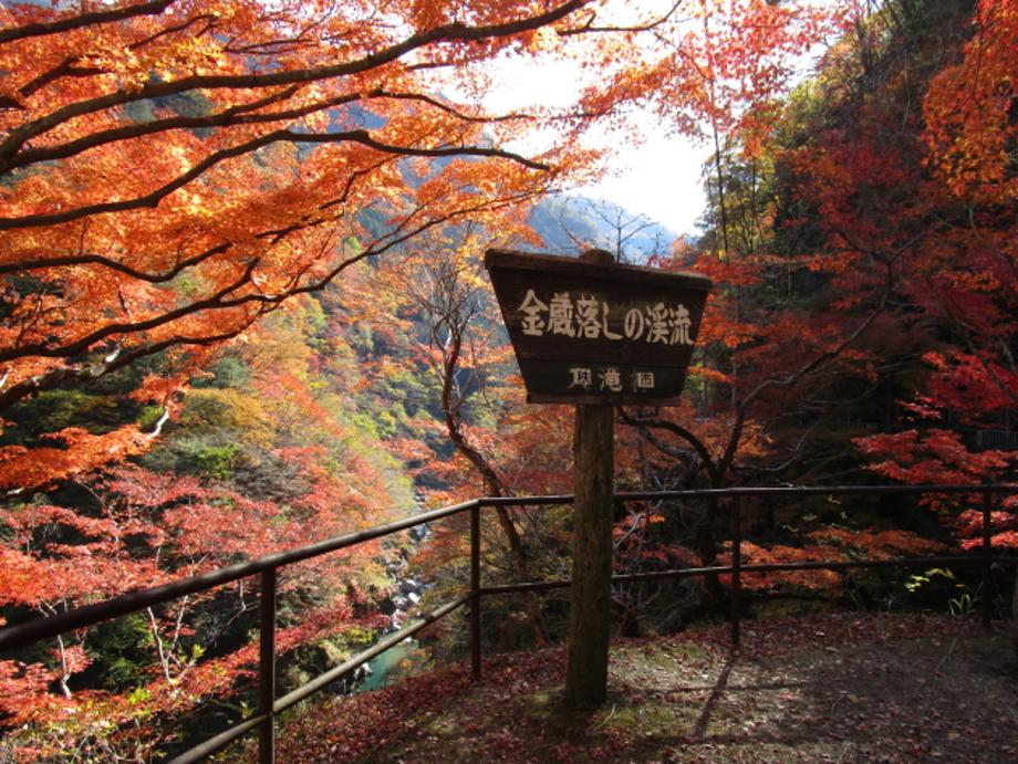
One of the famous autumn foliage sightseeing spots in Okuchichibu is the Mountain Stream of Kinzo-otosh.
Please look forward to seeing the colorful leaves of the valley colored in red and orange in fall.
⑦Icicles of Misotsuchi
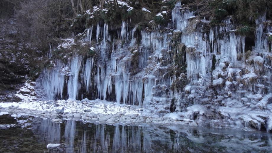
The Icicles of Misotsuchi is one of the three major icicle sites in Chichibu.
Water flowing along the rock surface freezes, forming natural icicles that are 10 m high and 30 m wide.
⑧Miso Potatoes
This is a local dish with French fries served with sweet miso sauce.
It is even sold in supermarkets in Chichibu, and it is a fast food that everyone knows about.
⑨Alcoholic Beverages of Chichibu
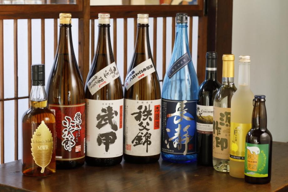
Japanese sake, whiskey, shochu, wine, beer… There are all kinds of alcoholic beverages produced in the Chichibu region. There are so many different types that you are bound to find something that you love.
⑩Chichibu-Meisen Silk
Chichibu-meisen is a silk fabric traditionally produced in the Chichibu region.
It was durable and could be mended because it was made using a technique called hogushi nassen (dyeing). This was one of many reasons it was very popular among stylish women from the Taisho to the early Showa period.
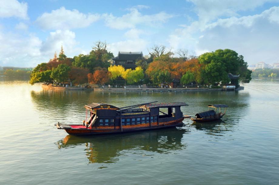
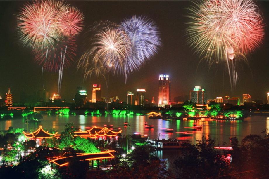
- Population5,400,868
- Area3,915㎢ km²
- LocationLocated near Hangjiahu, Changgang river, Northeastern Zhejiang, Close to Shanghai, Hangzhou, and Suzhou
- Sisterhood formation date 1999-05-11
- climate Average annual temperature: 15.7℃, Minimum: -9.8℃, Maximum: 39.4℃, Average annual rainfall: 1,160 mm
- Website https://www.jiaxing.gov.cn/
A transportation center with railways and highways that is located near Shanghai, Hangzhou, and Suzhou.
Jiaxing is famous as an “ancient water town,” with the most areas of the city situated adjacent to a river or a lake, and it is known for its exquisite natural environment with primitive forests.
Famous as the home of silk, it manufactures textiles including wool and is one of the largest exporters of leather goods in the world.
It is home to Hankook Tire’s factory and Hyosung Chemical Fiber Jiaxing, which manufactures elastane textiles.
Major tourist attractions: South Lake, Three Pagodas of Jiaxing, and refuge for the independence activist Kim Gu
Specialties: Zongzi (steamed rice balls wrapped in reed leaves) and dried fruits
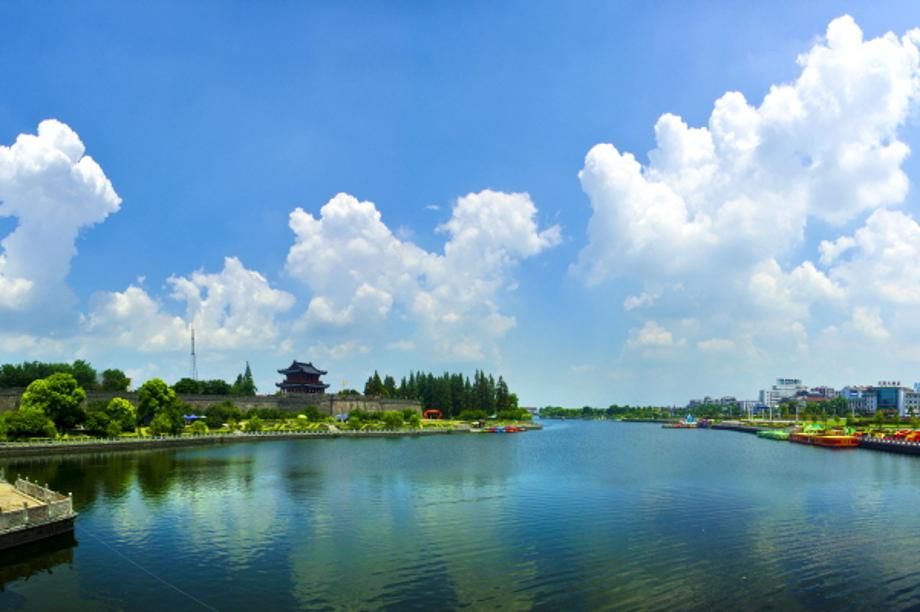
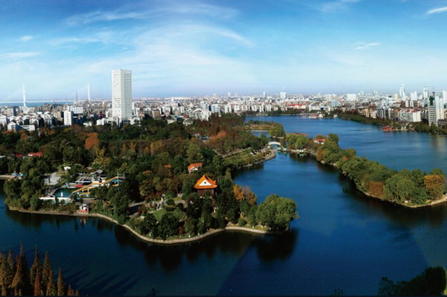
- Population5,231,180
- Area14,100㎢ km²
- LocationLocated on the border with Hunan Province, south of Hubei Province. It borders Wuhan to the east, Sanxia to the west, and Jingmen to the north.
- Sisterhood formation date 2004-10-19
- climate IT has four distinct seasons with a subtropical climate, and the average annual temperature is 16℃.
- Website http://www.jingzhou.gov.cn/
Because it is situated in a geographically important location, it served as the capital of several ancient kingdoms and became a fierce battleground, especially during the Three Kingdoms Period.
Jingzhou Ancient City Wall, which was first built around the 3rd century BC and has undergone several repairs and extensions afterwards, is a major tourist site, and relics of the ancient kingdom are housed in the Jingzhou Museum.
Its key industries include not only agriculture and fisheries but also the textile industry.
It is one of the important cities along the Yangtze River, which flow across the central part of China, and it serves as an industrial and textile hub in central and southern China.
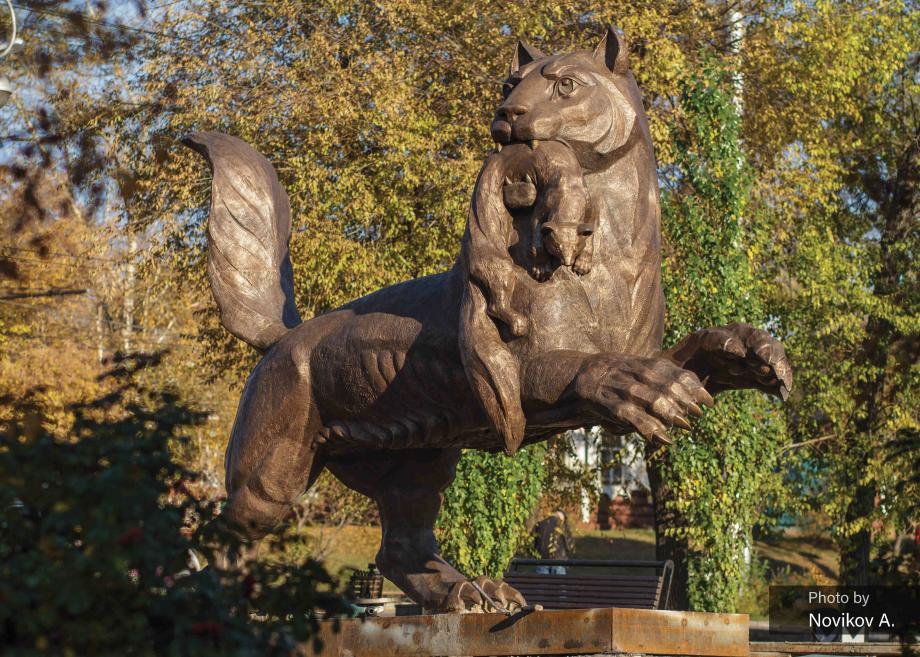
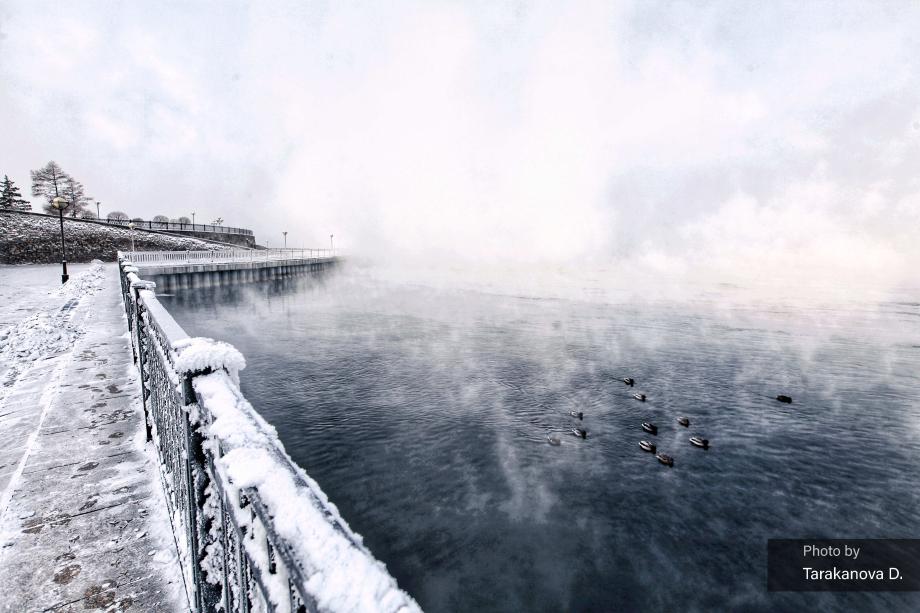

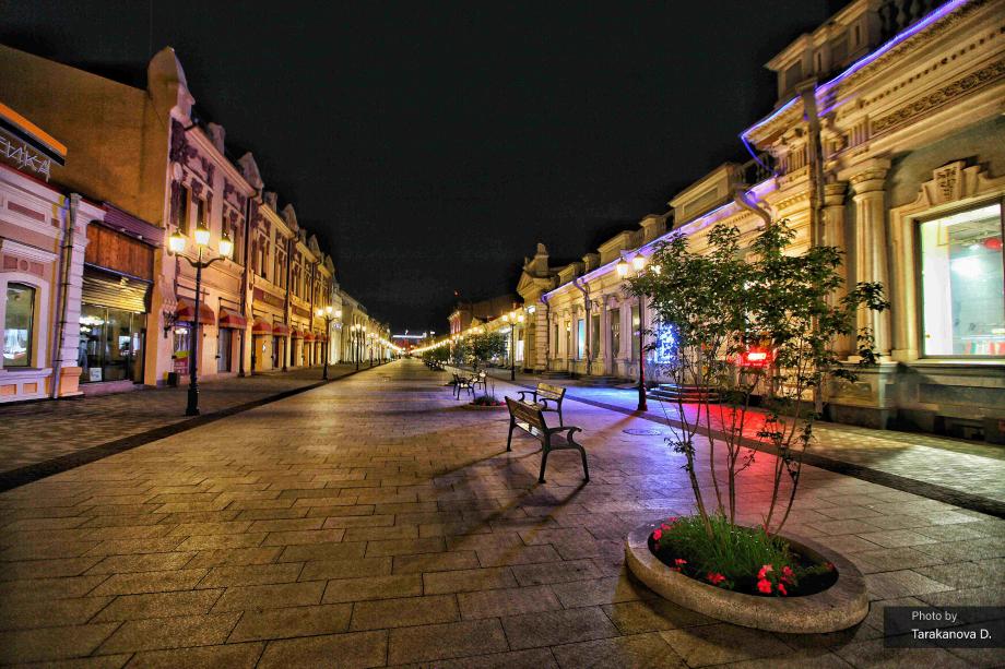
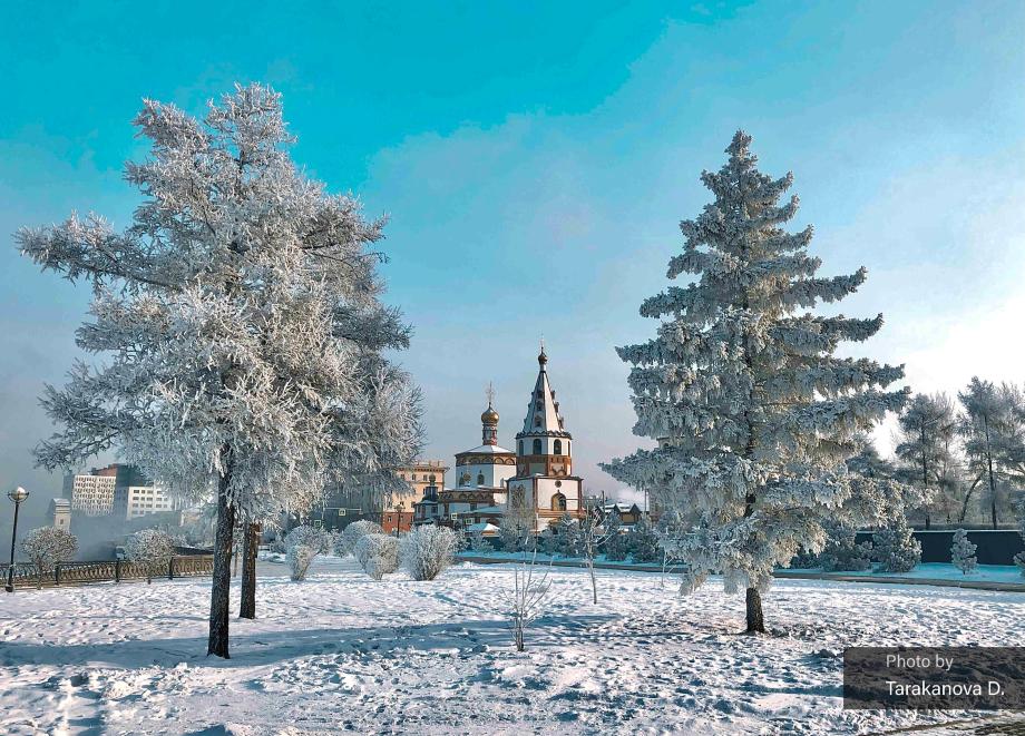


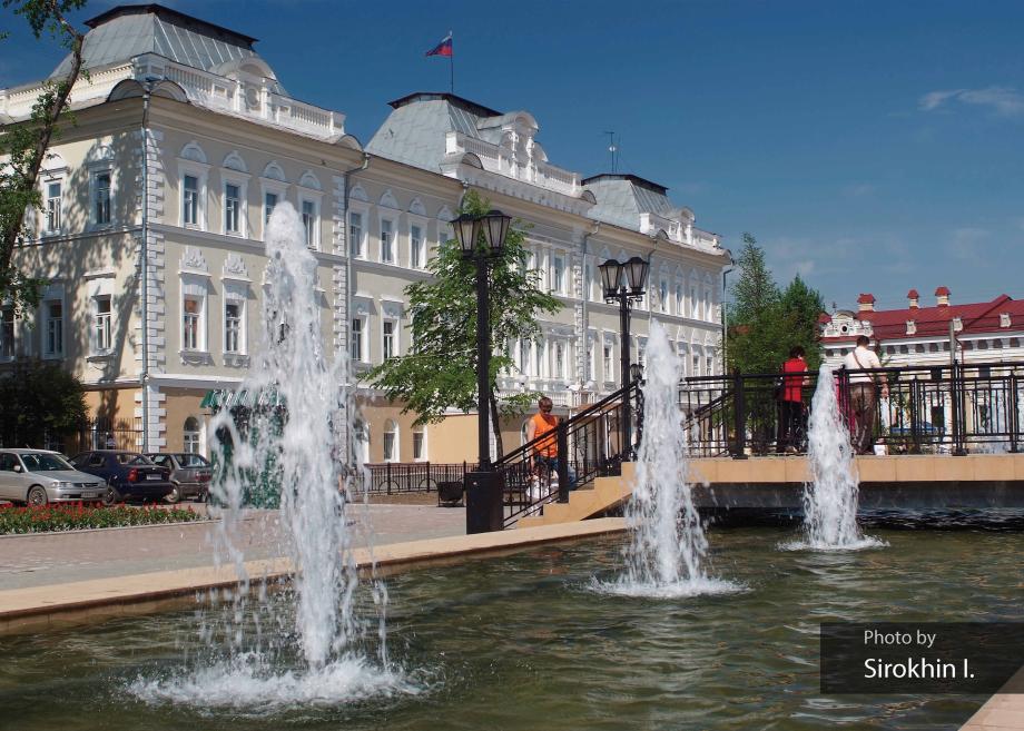
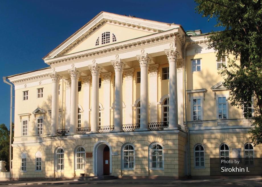
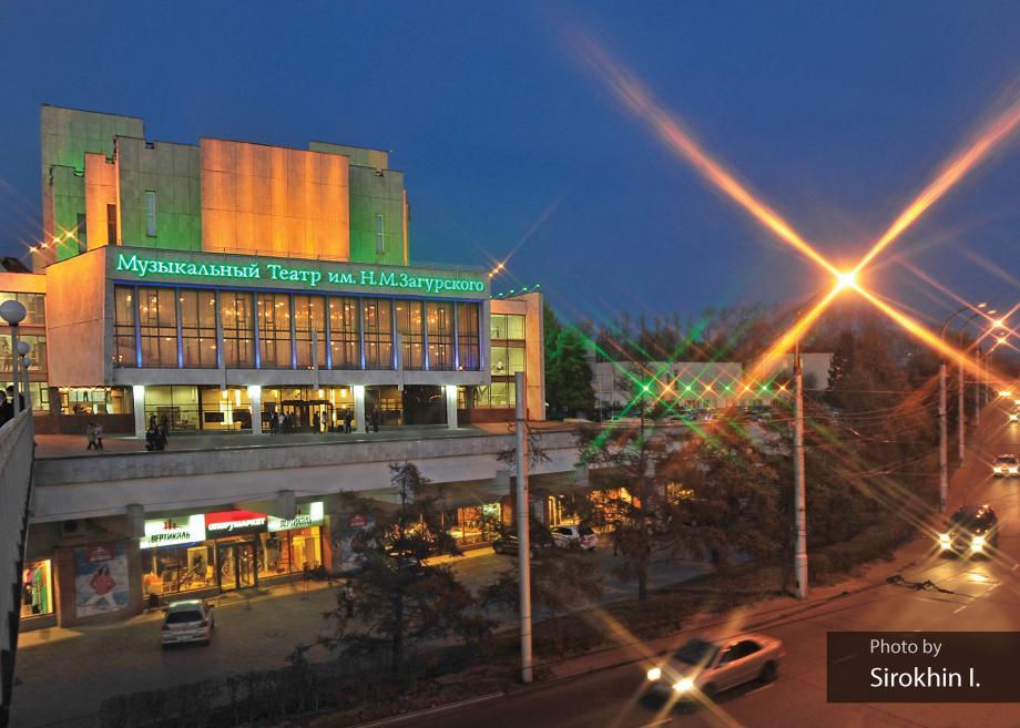
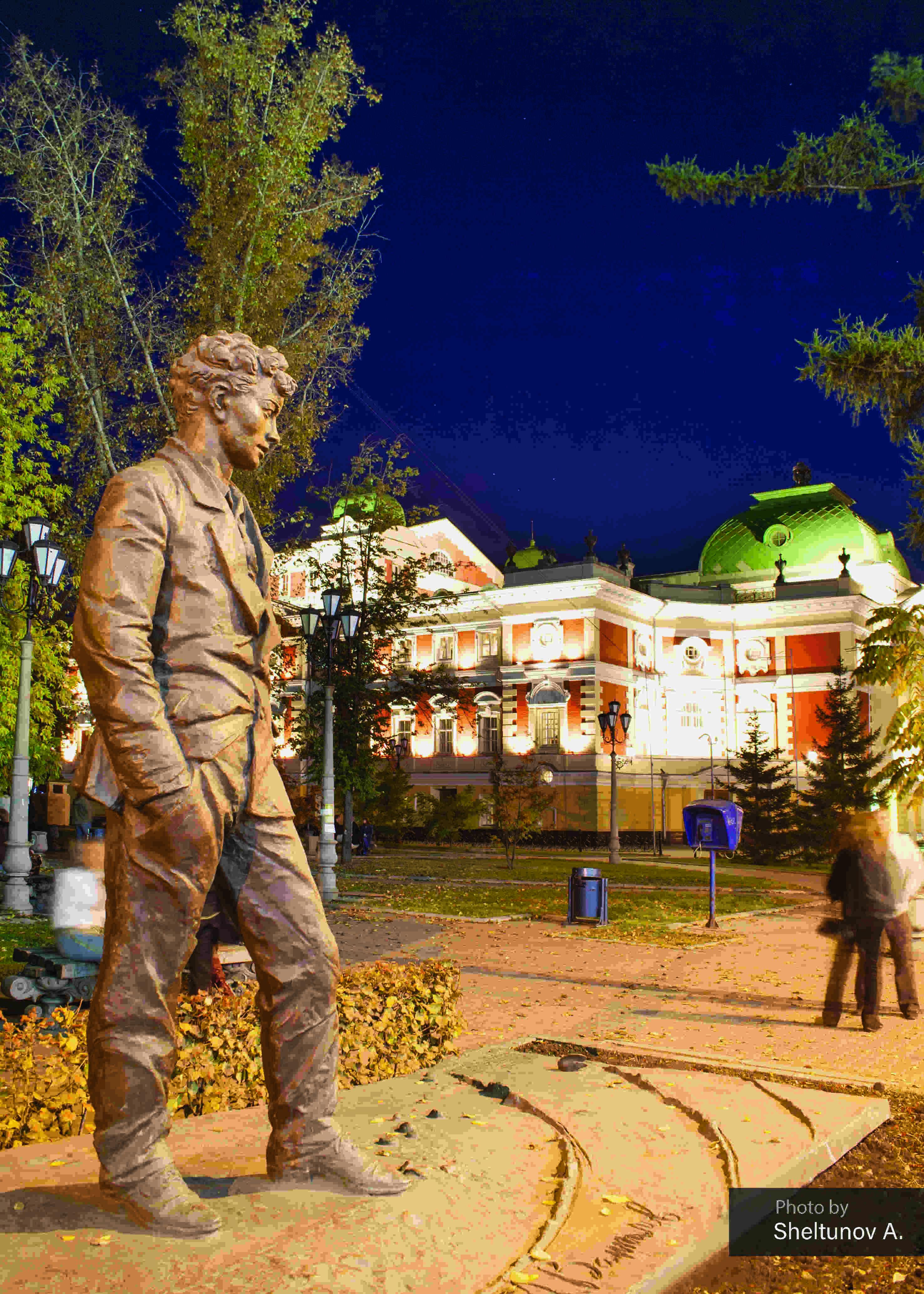
- Population623,479
- Area306㎢ km²
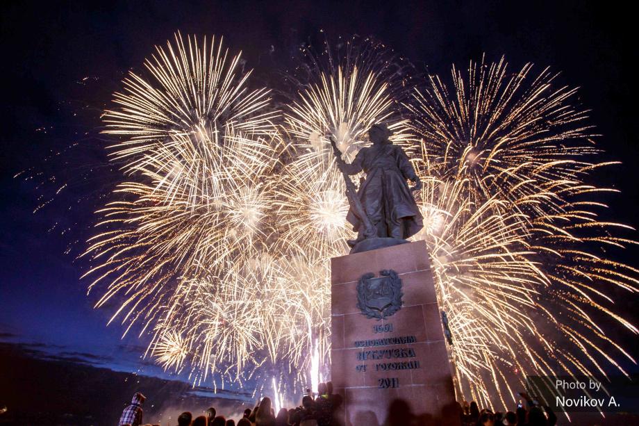
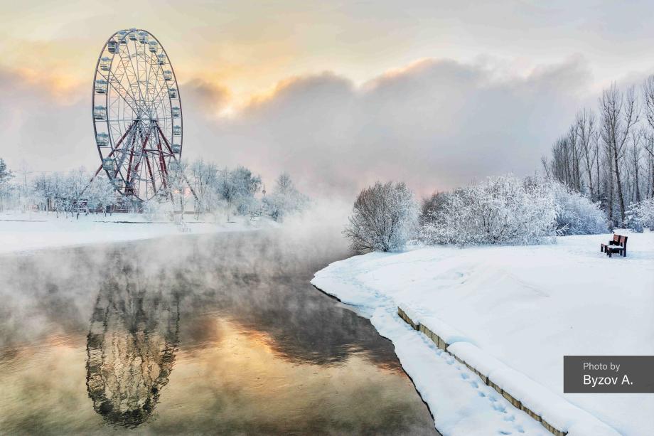
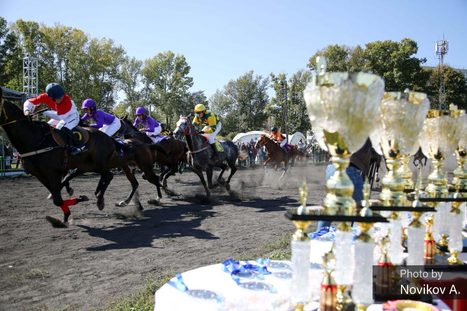
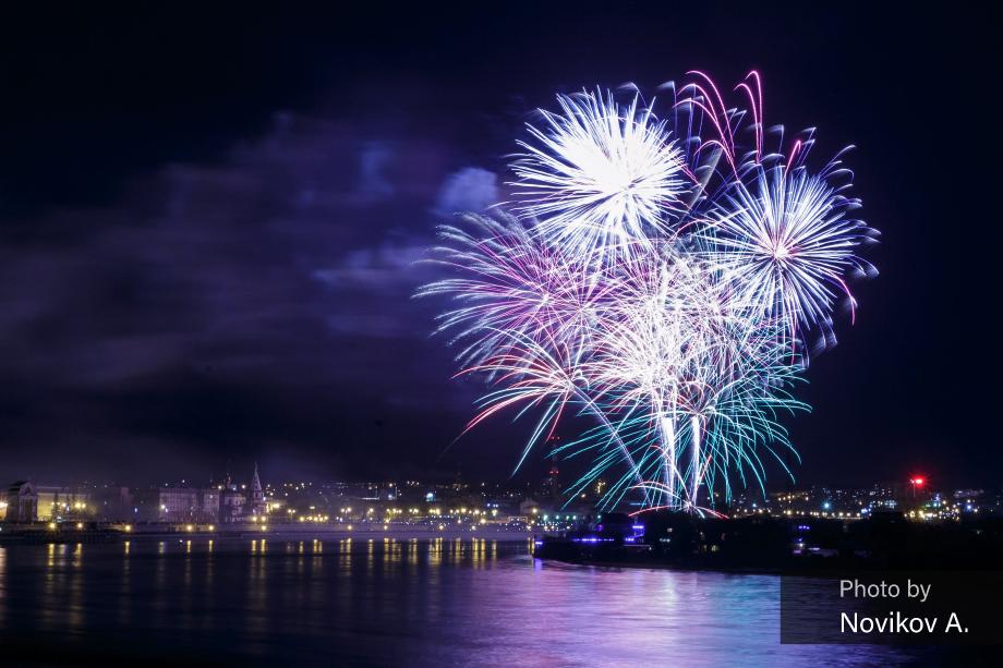
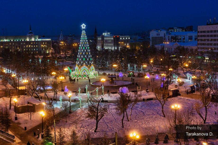
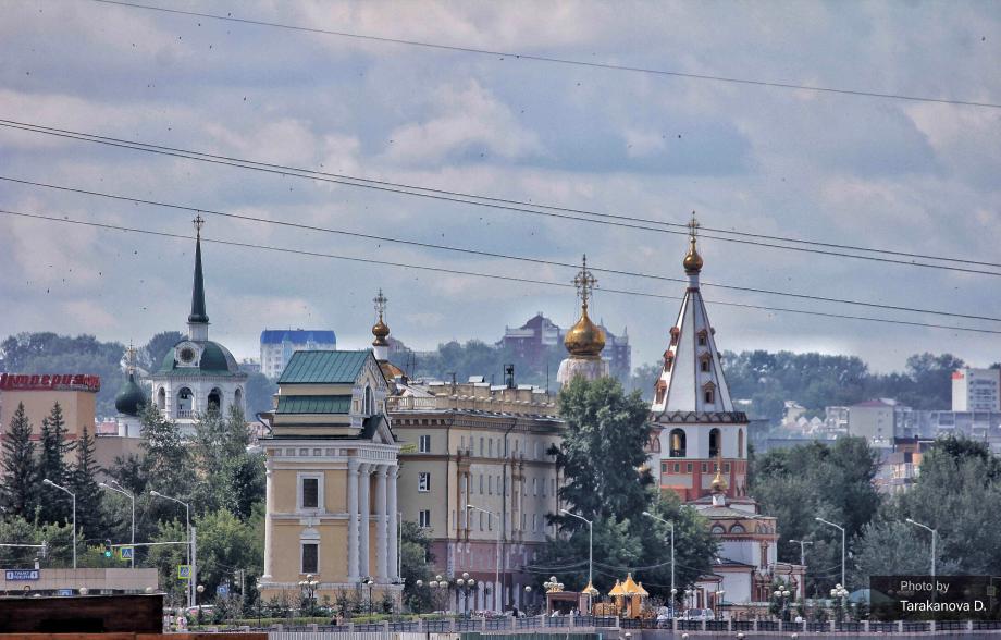
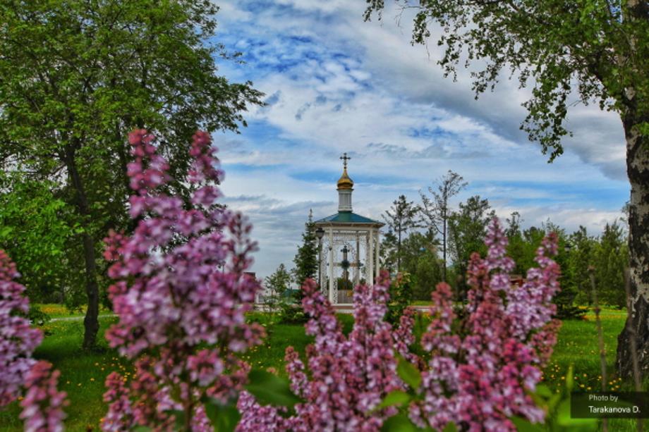
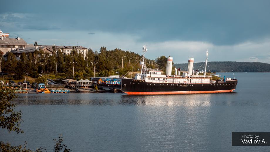
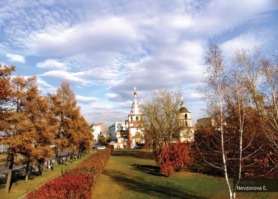
- LocationState capital of Irkutsk in Siberia. It is located at the Western inland of Lake Baikal and the right side of Angara river (Yenisei river stream) from Lake Baikal.
- Sisterhood formation date 2011-10-04
- climate Subarctic climate with severe temperature difference by seasons. July is the hottest with temperature over 18°C, January is the coldest month with temperature lower than -19°C
- Website http://www.irkutsk.ru/
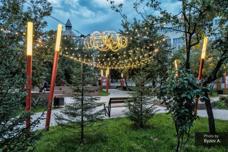
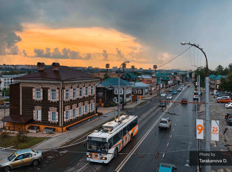
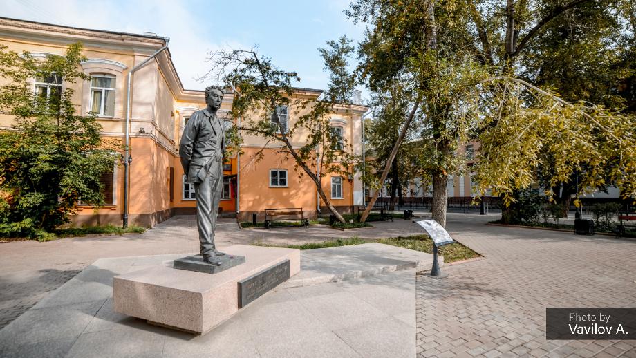
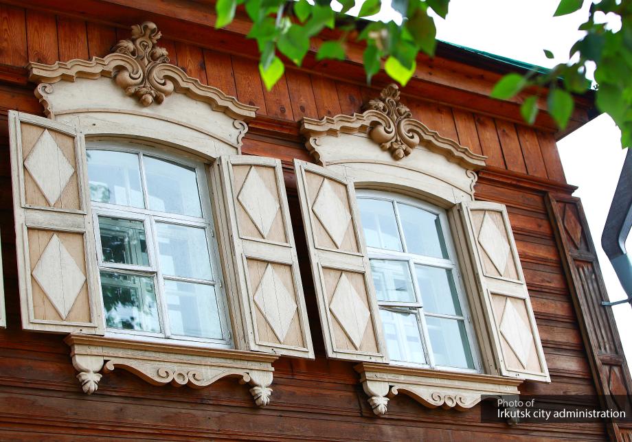
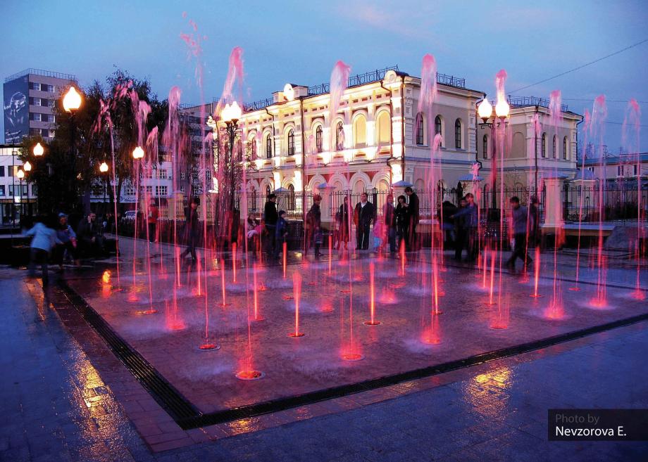
There are many buildings with a European beauty as the city is called Siberian Paris.
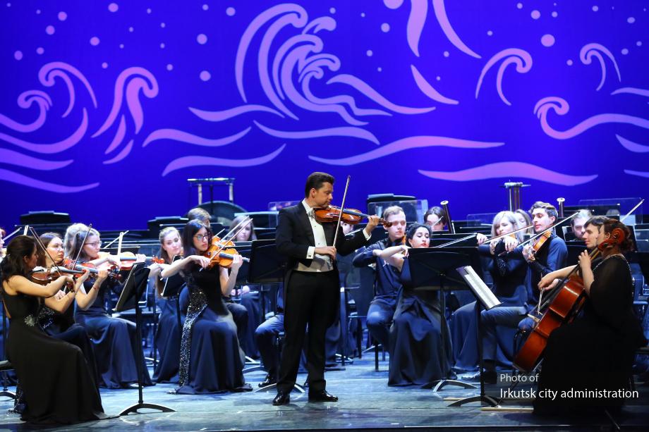
There are ancient wooden structures, stone-built houses, historical monuments, and 700 art galleries and natural museums including those focusing on literary pieces. It is a treasure house of Siberian culture. It is connected to Moscow via the trans Siberia railway (5,185km), and is the center for East Siberian transportation connecting the Far East of Russia, Uralic area and Central Asia.
- Population3,456,161
- Area5,911㎢ km²
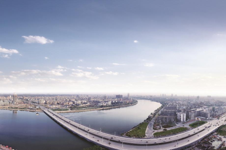
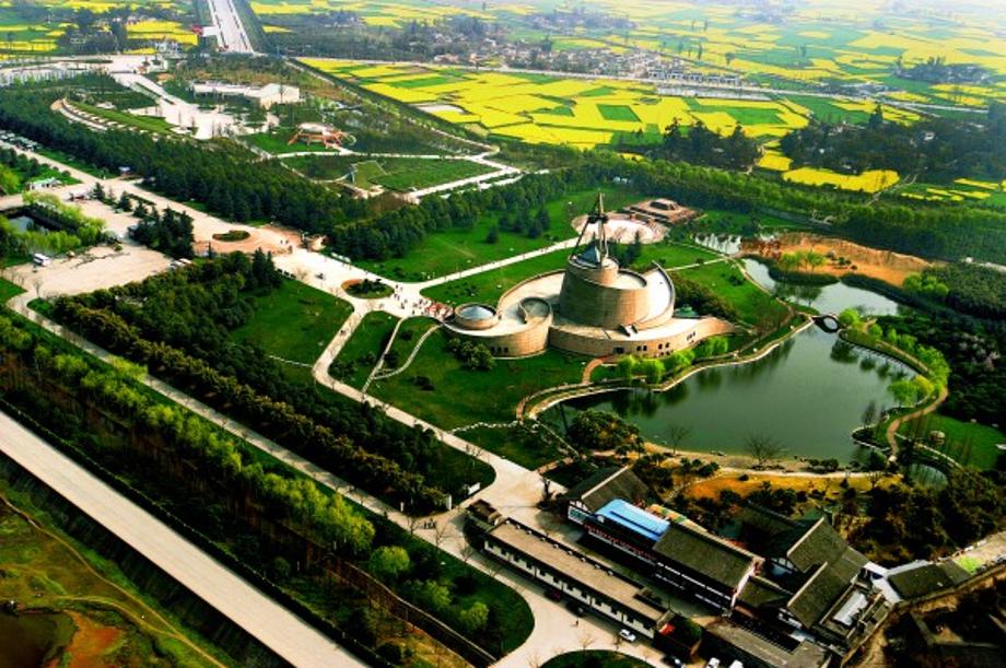
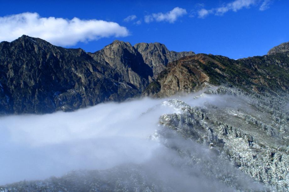
- LocationIt is located southeast of Chengdu Plain in the Sichuan Basin in Sichuan and 41 km southwest from Chengdu City, the capital of Sichuan Province. It faces Mianyang to the northeast, Suining and Ziyang to the southeast, and Abazhou Province to the west.
- Sisterhood formation date 2013-11-28
- climate The weather is mild and humid, with four distinct seasons. Average annual temperature: 15℃~17℃
- Website http://www.deyang.gov.cn/
With the ancient history and magnificent natural scenes, the city is rich with industrial resources such as machinery and chemistry.
Including Samseongtoe, the historic site from Shu dynasty, there are Confucius shrine, Baekmagaunbangtongsamyo and other historical artifacts, and there are 98 cultural assets including 2 state designated cultural assets.
The third largest city in Sichuan Province.
Deyang is 41 km away from Chengdu. With Chengdu International Airport to the south and Jinyang Airport to the north as well as highways and national roads, it offers convenience in transportation.
Deyang is a city with a long history and the birthplace of Bashu culture, with excellent natural scenery. There are many historical sites such as Sanxingdui ruins, Zhuge Shuangzhong temple.
Main industries: Medium-sized machinery, power equipment manufacturing, heavy equipment manufacturing, chemical, food, electronic/information, pharmaceutical, etc.
Specialties: Alcohol, tobacco, silk and Sanxingdui crafts
Main tourist attractions: Sanxingdui ruins, Scenic Area on Jiudingshan, Panda Reserve on Jiudingshan, etc.


- Population27,511
- Area41.5㎢ km²
- Location32 kms away from South of Valencia, Spain. Located at 39 degrees north latitude.
- Sisterhood formation date 2015-04-07
- climate Mediterranean climate
- Website https://www.algemesi.es/
Algemesí is located along the line separating Rivera Alta (high embankment) and Baja (low embankment).
It was originally founded by Muslims, but in 1243, a Christian army led by James I occupied the Muslim farming village.
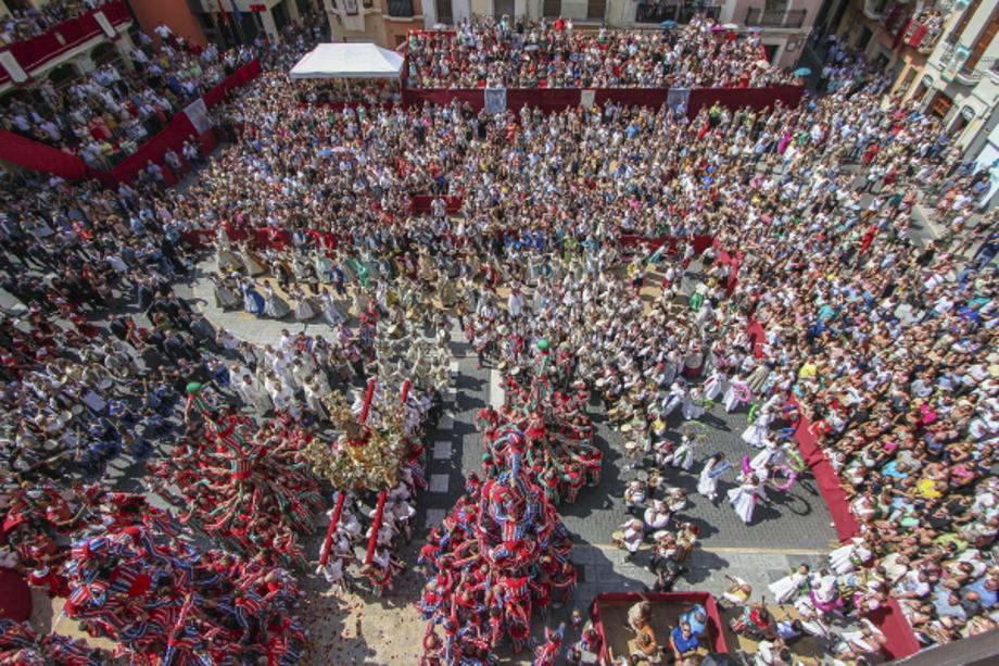
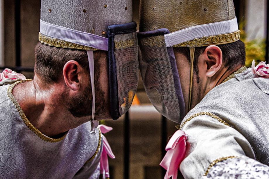
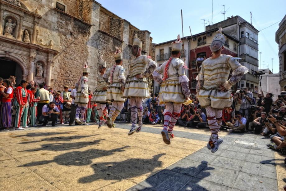
The muixeranga, famous as the traditional dance of Valencia, originated here.
The primary industry is agriculture, with cultivation of tangerines, rice, and horticultural crops, and tangerine cultivation accounts for 90% of agricultural production.
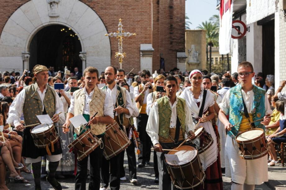
La Mare de Déu de la Salut Festival, registered as UNESCO World Intangible Heritage, is held every September.
Algemesí is a dynamic and modern small city which keeps a deep-rooted respect for its ancestral traditions preserved throughout centuries. Algemesí is situated in the Valencian Community, in the Province of Valencia. The Valencian Community is an autonomous community of Spain located in the central and south-eastern Iberian Peninsula. Its capital and largest city is Valencia.
Algemesi is a lively and modern town that keeps alive the most ancestral traditions based around a very distinctive culture and history that have rooted here while keeping themselves together for more than seven centuries.
A walk through its streets is more than enough to ascertain the conformation of this kind of culture, and even more so as it is one of the few cities in Spain to show with pride to the whole world the Intangible Cultural Heritage of Humanity recognition given by the UNESCO to its Festivity of the ‘Mare de Déu de la Salut’, which every year is relived in our streets on September 7th and 8th. Recognition founded over the base of the implication of all the people in the historical and cultural conservation of our heritage, which we have transmitted over generations throughout the centuries until reaching to what we have nowadays.
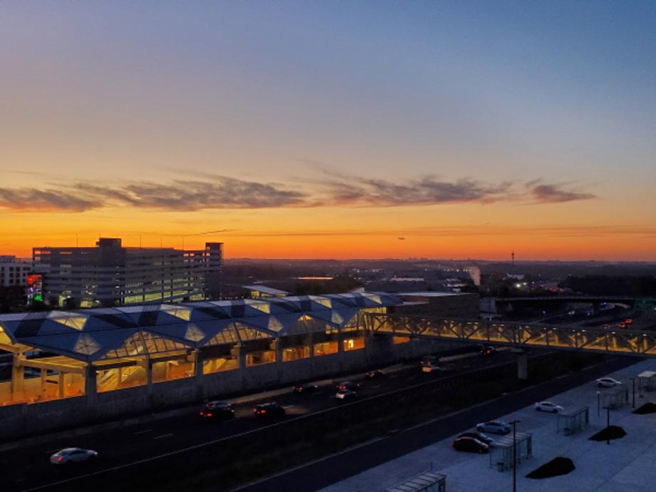
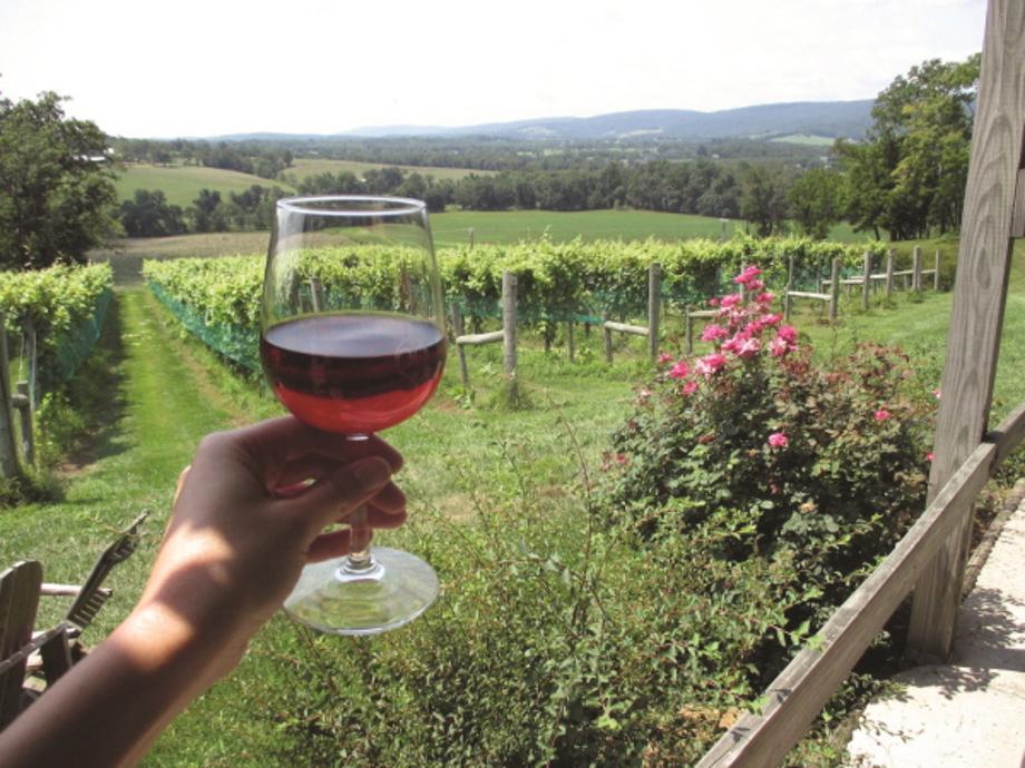
- Population413,538
- Area1,336㎢ km²
- LocationLocated at the far north of Virginia. The Potomac river flows from the North of the county and borders with Fairfax County to Southeast.
- Sisterhood formation date 2015-07-29
- climate The average temperature -18℃ in January and 24℃ in July.
- Website https://www.loudoun.gov/
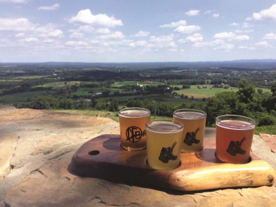
The main industries are wheat-centered agriculture, Internet-related industries, high-tech industries, trade, and recreation. It is also an important transportation hub.
Ranked #1 in quality of life as one of the fastest-growing counties in the United States in recent years.
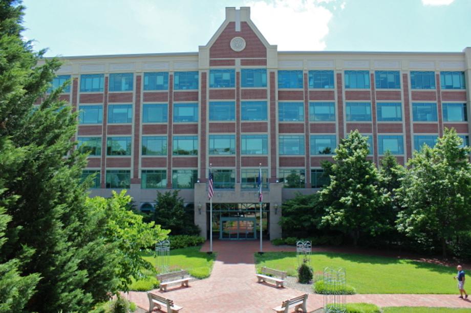
Business-friendly industrial development with many business districts and residential districts.
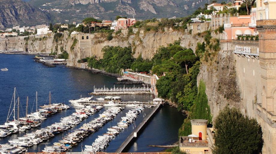
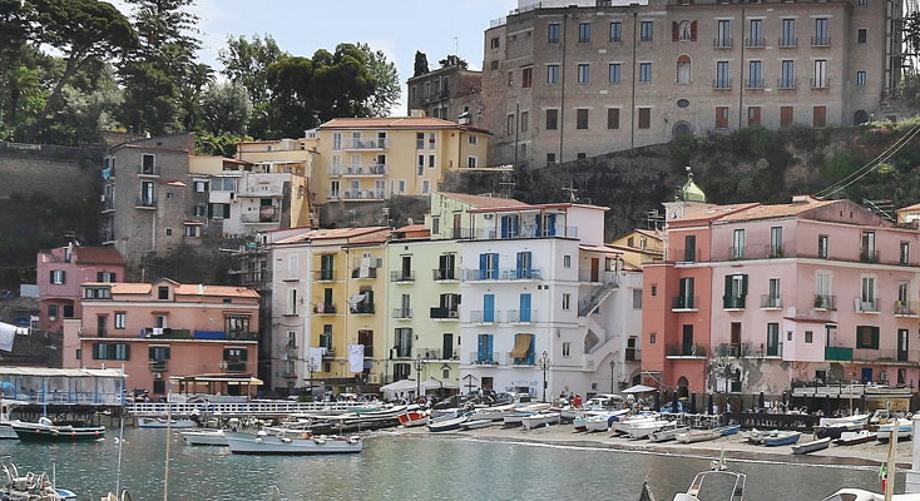
- Population17,000
- Area9.96㎢ km²
- LocationSouth of The Gulf of Naples. North of the Sorrento Peninsula, Located in the northern part of Campania. 54 km from Naples Prefecture
- Sisterhood formation date 2021-11-18
- climate Typical Mediterranean climate with mild winters and hot, dry summers
- Website https://www.comune.sorrento.na.it/
It is a world-class resort and tourism city with a long history and beautiful natural environment, and is the world's best lemon producing area.
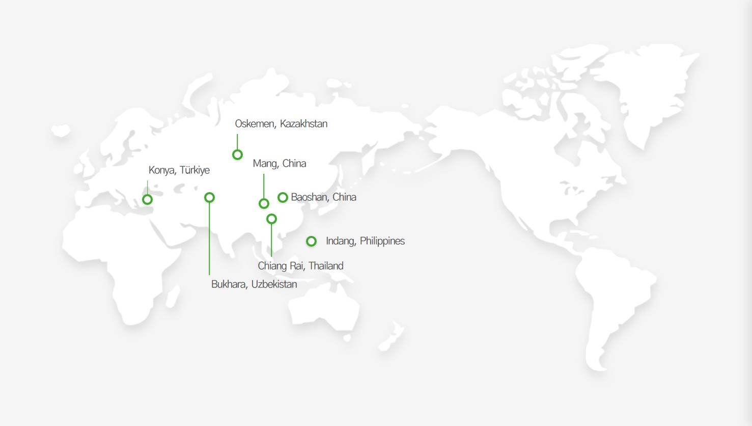

- Population276,548
- Area72.85㎢ km²
- Location550 km southwest of the capital, Tashkent
- Sisterhood formation date 2006-05-11
- climate Average annual temperature: 15℃ (29℃ in June and 0℃ in January)
- Website http://bukhara.uz/
It is also called Bokhara, while the locals call it Buxoro.
“Bukhara” means “temple” in Sanskrit.
It was a major oasis on the Silk Road connecting the West and China. Indian wool and Chinese silk were transported through here, and traces of the trade can still be seen throughout the city.
The main industries are textile, leather, and oil, and the making of crafts such as carpets, metal carvings, and woodcarvings has traditionally been popular.

- Population2,205,609
- Area38.257㎢ km²
- LocationLocated in southwestern Turkey, 250 km south of the capital, Ankara
- Sisterhood formation date 2008-02-28
- climate Summers are dry with little precipitation, and winters are cold and snowy.
- Website https://www.konya.bel.tr/
Main products are carpets, leather, sugar, and flour and it is famous for raising horses and camels.
Contains Alaaddin Mosque, Mevlana Museum, and Ince Minare Museum.
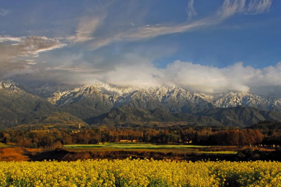

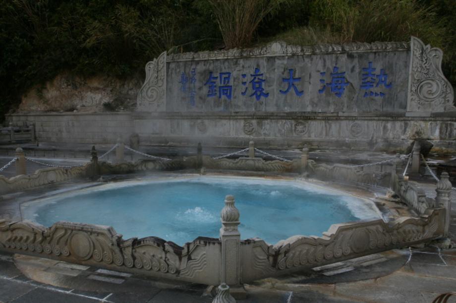
- Population2,460,000
- Area19,637㎢ km²
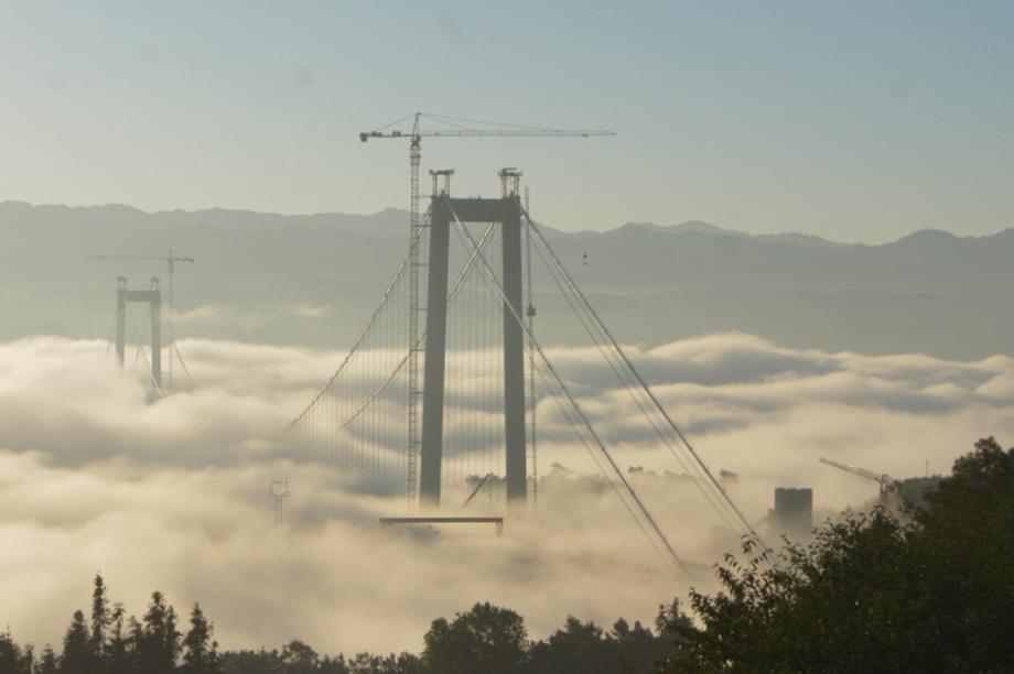
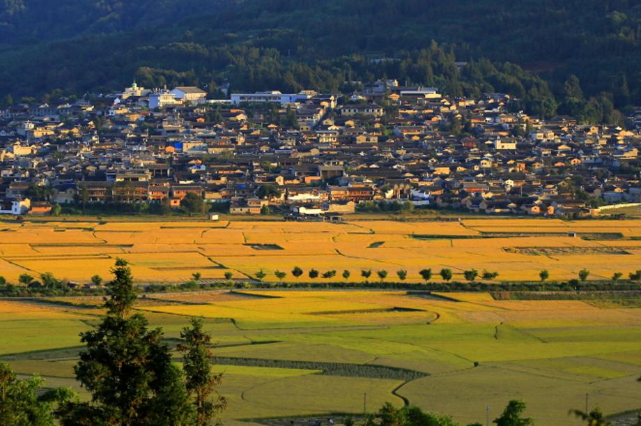
- LocationLocated in the western part of Yunnan Province, 498 km from Kunming, the administrative capital of the province. Outside the country, it borders with Myanmar, and inside, it is close to four provinces and cities: Dali, Linchang , Nujiang , and Dehong .
- Sisterhood formation date 2008-11-01
- climate The weather is mild year-round, without any heat or cold waves. Average annual temperature: 15℃
- Website
Environment
- Called the “best area for people to live” because of its abundant hydropower resources and excellent natural ecological environment
- Called the “natural museum” because of its abundance of natural resources
- The national nature reserve, called a “green repository,” is a habitat for 1,400 species of plants and herbal medicinal plants and 300 species of rare animals
Natural resources: rich in minerals such as copper, iron, uranium, tin, gold and silver
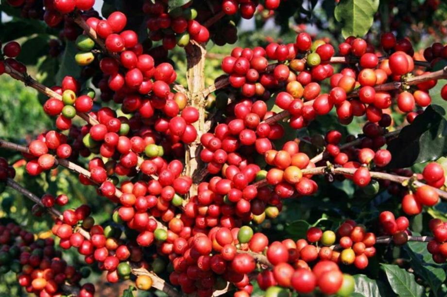
Specialties: sugarcane, pepper, lychee, longan, coffee, etc.

- Population305,000
- Area11,678 km2 km²
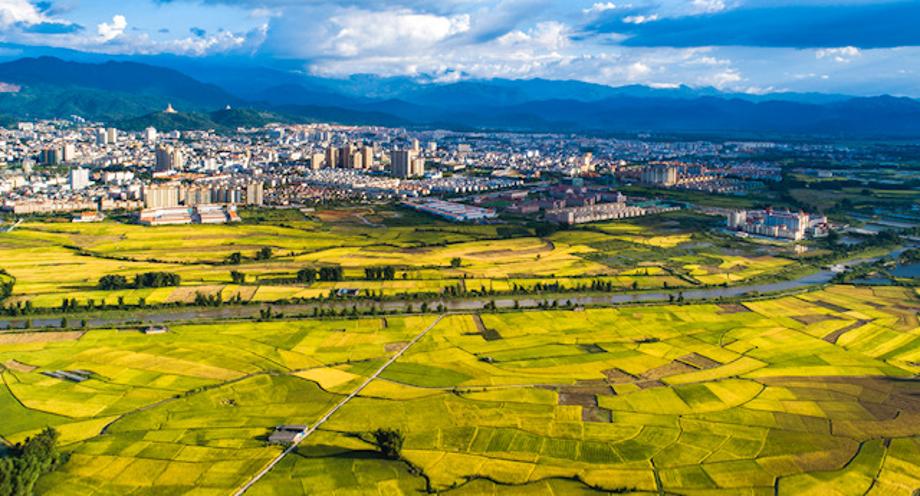
- LocationLocated in the basin of the Irtysh River, a tributary of the Ob River in eastern Kazakhstan, and relatively close to Ürümqi, China
- Sisterhood formation date 2011-05-30
- climate The weather is fairly cold, with an average temperature of -16℃ in January and an average temperature of 20℃ in July.
- Website
East Kazakhstan Province in Kazakhstan
In 1720, it was built as a fortress and trading post at the confluence of the Irtysh and Ulba rivers. It underwent significant development as a center of nonferrous industry as a producer of uranium, lead, and zinc when Kazakhstan was part of the Soviet Union.
The population is mainly Russian. As of 2014, Russians accounted for 58.0% of the population and Kazakhs 38.3%, with 652 Koryoin residents (0.2%).

- Population394,000
- Area2,987㎢ km²
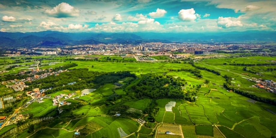
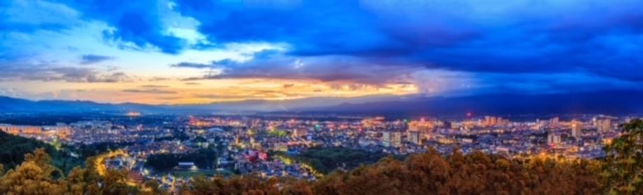
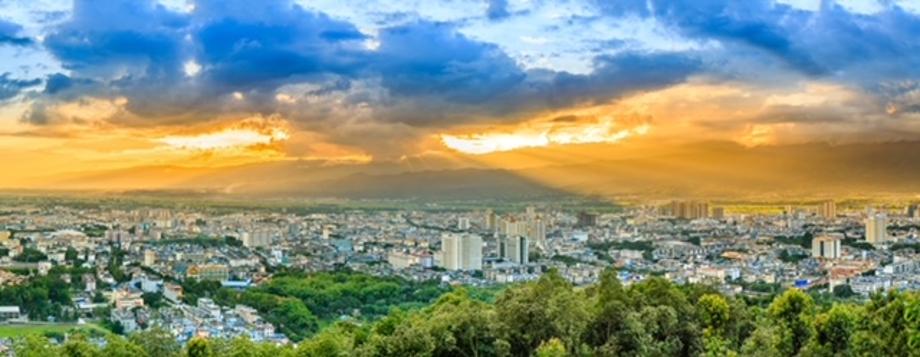
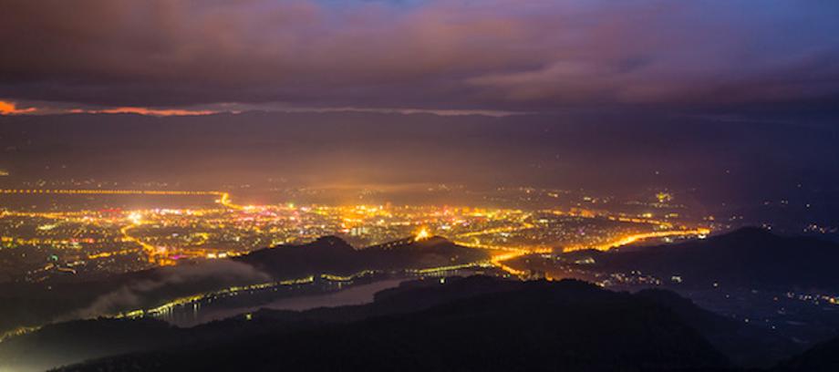
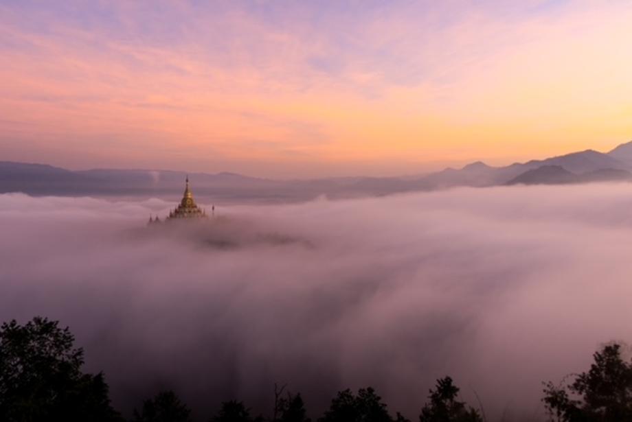
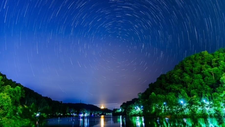
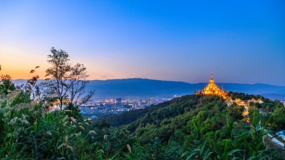
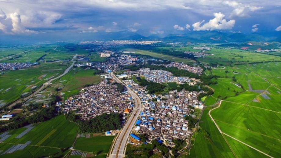
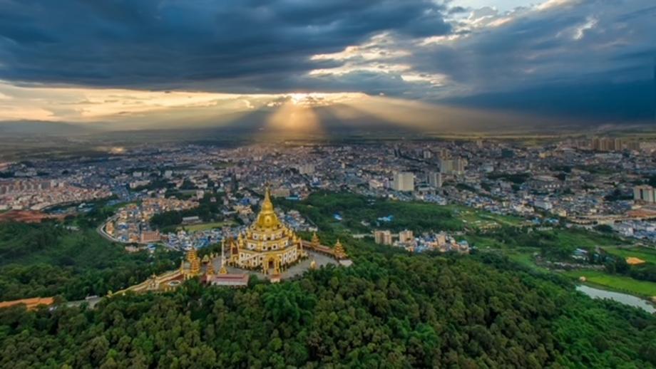
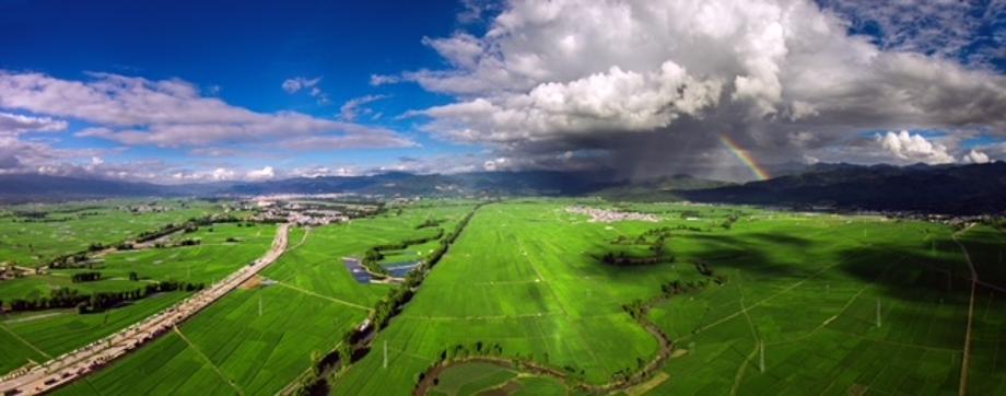
- LocationLocated in western Yunnan Province and southeastern Dehong Province and borders Myanmar to the south
- Sisterhood formation date 2012-01-09
- climate Subtropical monsoon climate, average annual temperature: 19.6℃, minimum temperature: 12.3℃ (January), maximum temperature: 24.1℃ (June), average annual rainfall: 1,654.6mm (wet season: May to October)
- Website
Selected as a National Health City in 2011
Mangshi contains 3 rivers and 4 streams, and it features low-latitude terrains with relatively low mountains.
Main industries: cultivation, aquaculture, tourism
Major holidays
- Water-Sprinkling Festival (the largest traditional festival of the Dai people, an ethnic minority in China)
- Manau Festival (a traditional festival of the Jingpo people held to wish for good fortune and bountiful harvest)
Main attractions: Mengbanaxi Wonders Garden (park), Wuyun, Bodaiji (temples)
Specialties: coffee, sugar cane, tea leaves, rice, chili pepper

- Population62,000
- Area60.85 ㎢ km²
- LocationLocated 200 km northeast of Chiang Mai, Chiang Rai Province, the northernmost province of Thailand
- Sisterhood formation date 2015-05-19
- climate Tropical wet and dry climate where it is hot and cloudy in the wet season and sunny in the dry season
- Website
Chiang Rai is located in the central part of the Indochina Peninsula, bordering Myanmar, Laos, Vietnam, and Cambodia. 12.% of the population are part of the “hill tribes.”
Chiang Rai Immigration Office is located in Mae Sai District, the gateway for tourists traveling between Myanmar and Thailand. The area serves as a bridge between Myanmar and Thailand in tourism and trade.
Famous for the Golden Triangle, Wat Phra Kaew (known as the Temple of the Emerald Buddha), Golden Clock Tower, Chiang Rai Flower Festival, and Pha Hi Village (coffee village) located in the alpine area.

- Population65,599
- Area89.2 ㎢ km²
- LocationLocated in the heart of Cavite Province
- Sisterhood formation date 2017-05-29
- climate With a tropical climate, there are two distinct seasons: wet and dry seasons.
- Website
Various types of crops such as coconuts, bananas,coffee, fruit trees and pineapples are planted, and most farmers follow a multi-cropping agricultural system.